Ober Water – Puttles Bridge
Starting Point
Whitefield Moor car park
///ideas.dinner.ascendant
Distance
2 MILES (3KM) – Circular
Categories
Buggy-friendly | Campsites | Kids | Circular | Easy
This short circular walk starts from the Whitefield Moor car park and follows the path to Puttles Bridge. It joins the tranquil Ober Water stream as it meanders gently through the Aldridgehill woodland.
Ober Water originates in the bogland around Burley and joins the Highland Water to eventually become the Lymington River.
Route
Map & GPX
Information
In Pictures
Route
From the Whitefield Moor car park follow the path across the grassland, close to the road, until you reach Puttles Bridge. After a game of Pooh Sticks, continue across the bridge, walk through the car park and follow the marked footpath.
Continue past the first footbridge over the Ober Water after 500m. When you reach the second footbridge – after another 500m – turn right and cross the bridge. Follow the path on to Whitefield Moor.
Head along the bottom of the grassy bank (which can be boggy following wet weather) to return to Whitefield Moor car park.
Advertisement
View Map
Download GPX
Download PDF Guide
Essential Information
Weather

Brockenhurst
4:22 am,
Jul 19, 2025
L: 17°
H: 18°
overcast clouds
Daily Forecast
Hourly Forecast
Today
10:00 pm
17° / 18°°C
0.04 inch
100%
14 mph
90 %
1007 mb
0 mm/h
Tomorrow
10:00 pm
16° / 19°°C
0.04 inch
100%
21 mph
92 %
1002 mb
0 mm/h
Mon Jul 21
10:00 pm
15° / 22°°C
0.04 inch
100%
15 mph
96 %
1008 mb
0 mm/h
Tue Jul 22
10:00 pm
14° / 21°°C
0.04 inch
90%
12 mph
95 %
1014 mb
0 mm/h
Wed Jul 23
10:00 pm
13° / 23°°C
0 inch
0%
14 mph
93 %
1016 mb
0 mm/h
Today
7:00 am
16° / 17°°C
0.04 inch
100%
5 mph
87 %
1006 mb
0 mm/h
Today
10:00 am
19° / 20°°C
0.04 inch
100%
2 mph
90 %
1007 mb
0 mm/h
Today
1:00 pm
23° / 23°°C
0.04 inch
100%
11 mph
70 %
1006 mb
0 mm/h
Today
4:00 pm
23° / 23°°C
0 inch
0%
14 mph
59 %
1005 mb
0 mm/h
Today
7:00 pm
19° / 19°°C
0 inch
0%
10 mph
71 %
1004 mb
0 mm/h
Today
10:00 pm
17° / 17°°C
0 inch
0%
6 mph
82 %
1004 mb
0 mm/h
Tomorrow
1:00 am
17° / 17°°C
0.01 inch
20%
12 mph
90 %
1002 mb
0 mm/h
Tomorrow
4:00 am
17° / 17°°C
0.04 inch
100%
17 mph
92 %
1000 mb
0 mm/h
Tomorrow
7:00 am
16° / 16°°C
0.04 inch
100%
19 mph
89 %
999 mb
0 mm/h
Tomorrow
10:00 am
18° / 18°°C
0.03 inch
76%
21 mph
75 %
1000 mb
0 mm/h
Tomorrow
1:00 pm
18° / 18°°C
0.04 inch
100%
19 mph
73 %
1000 mb
0 mm/h
Tomorrow
4:00 pm
19° / 19°°C
0.03 inch
67%
12 mph
63 %
1000 mb
0 mm/h
Tomorrow
7:00 pm
19° / 19°°C
0.01 inch
15%
9 mph
61 %
999 mb
0 mm/h
Tomorrow
10:00 pm
17° / 17°°C
0.01 inch
29%
9 mph
77 %
999 mb
0 mm/h
Mon Jul 21
1:00 am
15° / 15°°C
0.04 inch
92%
11 mph
91 %
998 mb
0 mm/h
Mon Jul 21
4:00 am
15° / 15°°C
0.04 inch
100%
2 mph
92 %
997 mb
0 mm/h
Mon Jul 21
7:00 am
15° / 15°°C
0.04 inch
100%
7 mph
96 %
998 mb
0 mm/h
Mon Jul 21
10:00 am
16° / 16°°C
0.01 inch
37%
11 mph
88 %
999 mb
0 mm/h
Mon Jul 21
1:00 pm
21° / 21°°C
0.02 inch
47%
12 mph
61 %
1001 mb
0 mm/h
Mon Jul 21
4:00 pm
22° / 22°°C
0.04 inch
100%
11 mph
61 %
1003 mb
0 mm/h
Mon Jul 21
7:00 pm
20° / 20°°C
0.04 inch
100%
13 mph
65 %
1005 mb
0 mm/h
Mon Jul 21
10:00 pm
16° / 16°°C
0 inch
0%
15 mph
85 %
1008 mb
0 mm/h
Tue Jul 22
1:00 am
15° / 15°°C
0 inch
0%
12 mph
94 %
1009 mb
0 mm/h
Tue Jul 22
4:00 am
14° / 14°°C
0 inch
0%
9 mph
95 %
1010 mb
0 mm/h
Tue Jul 22
7:00 am
15° / 15°°C
0 inch
0%
7 mph
87 %
1012 mb
0 mm/h
Tue Jul 22
10:00 am
20° / 20°°C
0 inch
0%
10 mph
58 %
1012 mb
0 mm/h
Tue Jul 22
1:00 pm
21° / 21°°C
0.01 inch
20%
9 mph
56 %
1013 mb
0 mm/h
Tue Jul 22
4:00 pm
19° / 19°°C
0.04 inch
89%
11 mph
71 %
1013 mb
0 mm/h
Tue Jul 22
7:00 pm
18° / 18°°C
0.04 inch
90%
9 mph
74 %
1013 mb
0 mm/h
Tue Jul 22
10:00 pm
15° / 15°°C
0.01 inch
20%
9 mph
82 %
1014 mb
0 mm/h
Wed Jul 23
1:00 am
13° / 13°°C
0 inch
0%
8 mph
93 %
1014 mb
0 mm/h
Wed Jul 23
4:00 am
13° / 13°°C
0 inch
0%
7 mph
93 %
1014 mb
0 mm/h
Wed Jul 23
7:00 am
14° / 14°°C
0 inch
0%
6 mph
88 %
1016 mb
0 mm/h
Wed Jul 23
10:00 am
20° / 20°°C
0 inch
0%
6 mph
58 %
1016 mb
0 mm/h
Wed Jul 23
1:00 pm
21° / 21°°C
0 inch
0%
7 mph
52 %
1015 mb
0 mm/h
Wed Jul 23
4:00 pm
23° / 23°°C
0 inch
0%
13 mph
45 %
1014 mb
0 mm/h
Wed Jul 23
7:00 pm
22° / 22°°C
0 inch
0%
14 mph
48 %
1014 mb
0 mm/h
Wed Jul 23
10:00 pm
16° / 16°°C
0 inch
0%
13 mph
68 %
1016 mb
0 mm/h
Thu Jul 24
1:00 am
13° / 13°°C
0 inch
0%
9 mph
81 %
1016 mb
0 mm/h
Thu Jul 24
4:00 am
12° / 12°°C
0 inch
0%
6 mph
91 %
1016 mb
0 mm/h
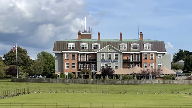
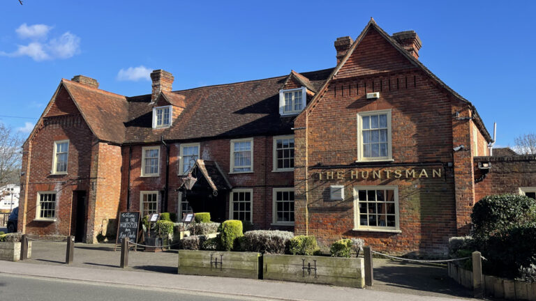
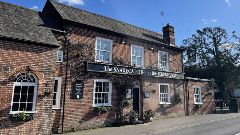
Food and Drink
In Pictures


