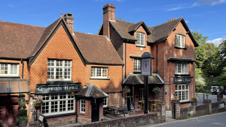
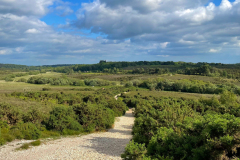
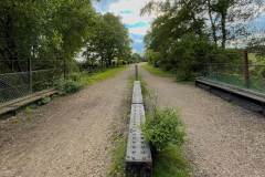
Although Burley is a bustling village, it is surrounded by rolling heath land. Heading south, you can enjoy the wide open vistas with views as far as the Isle of Wight and walk where the tracks of the Castleman’s Corkscrew railway line used to carry steam trains through the forest.
This route is particularly stunning in late summer when the purple and pink heather is in full bloom.
Route
From Burley car park, take the more-or-less straight gravel path which heads south through the gorse bushes. You soon begin a gradual descent down Turf Hill.
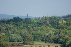
Look out for Sway Tower in the distance, with the Isle of Wight visible across the Solent behind it. The 218 ft-high tower is visible for miles around and is a familiar landmark. It was built in the 1880s by wealthy local landowner Andrew Thomas Turton Peterson and is thought to be the tallest structure in the world made from non-reinforced concrete.
Continue walking, with Shappen Bottom on your right. After about 2km from the car park, the track narrows and there is a steeper descent towards a footbridge which crosses the Avon Water stream at the bottom of the valley.
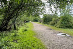
Over another 200m, the path rises to meet a wide gravel path along the disused ‘Castleman’s Corkscrew’ railway line. The line, opened in the 1840s, linked Brockenhurst and Ringwood and was so-called because of its winding route through the New Forest
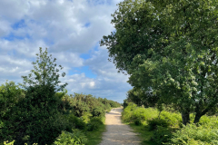
At the ruins of the Greenberry Bridge, turn right onto the path and follow its gently curving route for 1.5km.
When the path crosses a second small bridge with metal railings, take the path on the right of the railing which immediately heads up the hillside.
Advertisement
Continue on the track up Burbush Hill, passing a tumulus – a Bronze Age burial mound – hidden in the heathland on your left after about 330m.
Continue on the path for 900m as it rises and falls and bends round to the left after Shappen Hill and eventually meets an area of grassland in front of Goats Pen Cottage. Cross the the lawn – which can be marshy following wet weather – and go down the lane to the right of the cottage. The lane meets Moorhill Road. Turn right and, taking care walking along the roadside, follow it uphill back to Burley car park.
To visit the village of Burley, a path through the trees links the car park to the Coven of Witches gift shop.
Advertisement
View Map
Download GPX
Download PDF Guide
Essential Information
Weather


