Acres Down
Starting Points
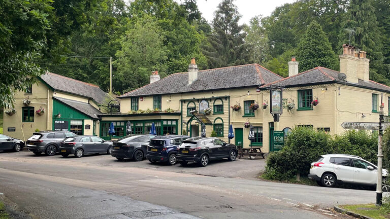
Millyford Bridge car park
///instructs.refusals.oval
Acres Down car park
///reveal.resembles.snoozing
Distance
4 MILES (6KM) – Circular
A walk up to one of the highest points in the New Forest with stunning views over to the Isle of Wight on a clear day. Your descent from Acres Down will take you through woodland inclosures.
Route
Starting from the Millyford Bridge car park between Bolderwood and Emery Down, take the path into the woods alongside the Highland Water. The stream meanders through the forest towards Brockenhurst and eventually becomes the Lymingon River.
The peaty water is a rich, dark gold colour in the sunshine as it runs over its gravel bed.
About 300m along the track from the car park is a clearing with a smaller track leading off to the right. Follow this path for about 1km as it takes you through the conifers, oak and beech trees of the Knowles. It gradually climbs – at one point crossing a small stream – and continues until you reach the exposed higher ground of Acres Down.
If you look to the south east on a clear day you can see the ships on Southampton Water and the downs of the Isle of Wight.
Advertisement
Follow the path for about 400m along the top of the horse-shoe hill, joining up with another track to take you down to the Acres Down car park. The Acres Down farm shop and tea shop are also nearby if you need refreshments at this point.
From the car park, take the gravel path cycle route heading south west with the heights of the top of Acres Down on your left. There is a dog leg as the path takes a turn to the right shortly after the car park.
Continue straight for about 1km through Wick Wood, over Bagshot Gutter. Shortly after Bagshot Gutter, take a left turn and follow the path into Holmhill Inclosure.
The path loops around to the right for 700m, past a crossroads and joins another path. Shortly after the path crosses a stream, turn left at the junction and, after a short 250m stretch, you’ll join the main cycle path.
Turn left and head 1.3km straight along the path, out of the inclosure and back to the Millyford Bridge car park.
Advertisement
View Map
Download GPX
Download PDF Guide
Essential Information
Weather