Canadian Memorial
Starting Point
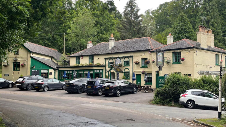
Bolderwood car park
///cluttered.november.pipes
Canadian Memorial car park
///duration.nitrate.branched
Distance
3 MILES (5KM) – Circular
Categories
Route
Before you start the walk, take a moment to visit the Canadian War Memorial – the simple wooden cross commemorates the Canadian forces stationed in the New Forest before the D-Day invasion of Normandy on 6 June 1944. Before the invasion, Canadians would gather here for church services.
From the car park beside the Canadian memorial, opposite the main Bolderwood car park, go through the gate and begin walking downhill. Stay on the main gravel path to the right when it forks after about 150m.
Continue for almost 1km – going straight ahead at cycle route marker post 102 – until the path eventually sweeps round to the right. After a further 450m, follow the path as it turns left to cross Highland Water.
Advertisement
After crossing the bridge, stay on the left path when it forks after 140m. Continue to follow the gravel path for another 630m until it reaches a crossroads and take the dog-leg track to the left to cross some open ground between Puckpits Inclosure and Highland Water Inclosure.
Keep following the path for just over 1 km – going straight across a crossroads – until you reach the gate to exit Highland Water Inclosure. Go through the gate and turn left to join the forest track heading downhill into the trees.
Cross the footbridge at the bottom of the hill where Long Brook meets Highland Water. The area each side of the bridge can be churned up in wet weather conditions. Follow the track ahead as it follows a gentle incline up Mogshade Hill. After 650m the path joins another. After another 250m, turn left and follow the track alongside the plantation of pine trees until you reach a barrier before the road. Walk the short distance back to the Canadian Memorial car park, or further to the Bolderwood car park.
Advertisement
View Map
Download GPX
Download PDF Guide
Essential Information
Weather