Lyndhurst – Ashurst Loop
Starting Points
///richer.meanest.porridge
Ashurst car park/Ashurst Station
///blocking.ducks.disgraced
Distance
9 MILES (14KM) – Circular
Categories
A circular route linking two New Forest villages, making a challenging nine-mile walk through woodland inclosures and across open heathland.
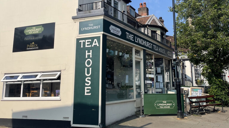
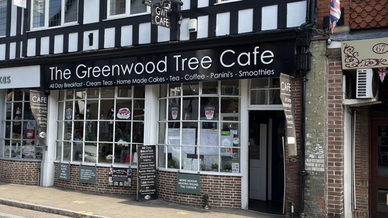
Start from either village and have a break to enjoy the pubs, cafes and restaurants in the other before your return.
Route
Map & GPX
Information
In Pictures
Route from Lyndhurst
From the Bolton’s Bench car park, cross the Beaulieu Road and go through the pedestrian gate beside the cattle grid. Cross the main Lyndhurst – Ashurst road at the traffic island opposite the fire station.
Turn right and start walking along the footpath for about 600m out of the village. Turn in to the New Forest Golf Club entrance and walk towards the car parks. On the golf course just beyond the public car park, step over some small ditches on your right and follow the path which skirts the outside edge of the course.
Watch out for any stray golf balls and continue walking until you reach a footbridge over a stream after about 400m.
After crossing the bridge, climb up the bank and take the second path on the right, with the edge of some woodland on your left. Follow the grassy path through Dunces Arch Inclosure for 750m as it passes through an area of cleared plantation. The wide track can be muddy following wet weather.
Turn left when the track meets a gravel path. Follow it downhill to cross a stream then, after a short distance, continue on the gravel track to the right when the track forks.
You’ll soon reach the gate on the edge of Ironshill Inclosure – go through it and follow the path for about 300m, with a plantation of birch trees on your left.
The path meets the New Forest Cycle network. Turn right and follow the path downhill, before turning left at the dog-leg junction at cycle marker post 361.
Continue for 400m and go straight ahead at the cross roads at cycle marker post 364.
Take the next right after another 100m and continue on the straight gravel path for 550m. When you reach cycle marker post 365, stay on the gravel path to the left.
After another 850m, turn right at cycle marker post 366. Continue for 600m until your reach the inclosure gate.
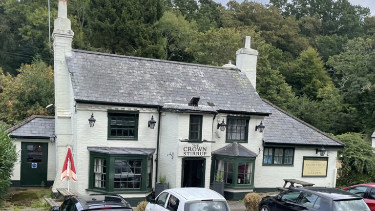
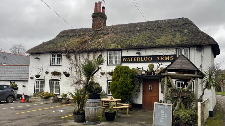
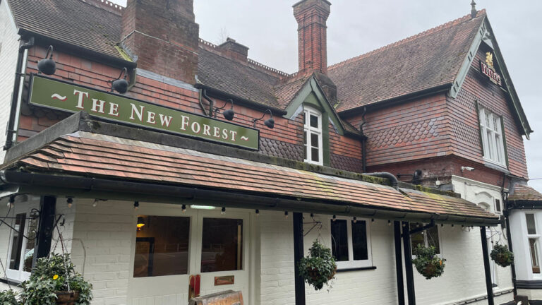
Turn right on to Woodlands Road. Taking care along the roadside, walk for 800m until you reach the railway bridge and the road meets the A35. Turn left onto the footpath which crosses the bridge. Cross the road when you come to the pedestrian crossing in front of a parade of shops. Turn right and walk back towards the Happy Cheese pub before turning left to take the path between the pub and its car park.
Advertisement
Route from Ashurst
To begin your walk in Ashurst, start from the small public car park beside the Happy Cheese and the entrance to the Ashurst Hospital. Alternatively, from Ashurst Station, take the path leading from the Platform Two side of the station to the Happy Cheese. Join the path running between the pub and its car park.
Go through the gate just beyond the pub car park. Follow the gravel path through the trees, with a small area of lawn to your right.
After 350m you’ll reach Church Place Cottage. It is one of the oldest buildings in Ashurst and has been home to the Forest Keepers for generations. Look out for the distinctive deer head trophy mounted on the gable end.
Turn right at the cottage corner and continue to follow the gravel cycle path. Walk along the path for 500m until you reach cycle marker post number 387. Continue straight on and follow the cycle path through Churchplace Inclosure for 1.6km until you reach the inclosure gate at cycle marker post number 365.
Go through the gate on to the open area of grassland. Take the path to the right at the T-junction ahead of you at cycle marker post 376. Walk through the clump of trees and cross the railway bridge.
After the bridge, the path crosses the Beaulieu River on Fulliford Bog and then forks after a short distance. Take the fork on the right and follow the path for 600m until you reach the edge of Matley Wood.
Continue on the same path for another 1.6km as it heads uphill though the small area of ancient and ornamental woods before passing the Matley Wood campsite area. Stay on the path as it runs alongside the B3056 Beaulieu Road.

The moor is an expanse of heathland that extends from Lyndhurst towards Matley Wood and Ashurst. During World War One, White Moor was used as a training site with practise trenches dug to replicate the battlefields in France.
The now-quiet heath would have echoed to the constant sounds of blasts and explosions as soldiers trained with grenades, landmines and mortars. Military dogs were also trained to carry messages through the trenches.
Unexploded items of ordnance have been found on the moor ever since, although systematic search and clearance work in recent years has made it safer. Walkers are still warned to take care if they come across any suspicious objects.
Continue for 1.6km towards Bolton’s Bench on the edge of Lyndhurst. The path runs close to the park pale – an earthen bank and ditch which enclosed a deer park. It dates back to the 13th Century when the area was part of the royal hunting forest.
The path eventually comes out at Bolton’s Bench East car park with the village cricket pitch to your left. Follow the road and walk up the hill to Bolton’s Bench.
The hill has become an iconic symbol of the New Forest and ponies and cattle can often be seen grazing on the hillside.
Legend has it that the hill was formed from the corpse of dragon.
In the Middle Ages, the village of Bisterne near Burley was terrorised by a fierce dragon. A brave knight, Sir Maurice de Berkeley, arrived to rid the villagers of their nemesis.
The story goes that, after battling the beast across the New Forest, he eventually slew the dragon here and its body became the hill. The knight however was a broken man and he and his dogs eventually lay down and died – yew trees grew where they fell at the top of the mound.
The hill is actually a natural sandy mound. The bench commemorates the 18th Century New Forest Master Keeper, the Duke of Bolton. It offers views over the village, the surrounding grass lawns, cricket pitch and out towards White Moor.
Come down the hill towards Bolton’s Bench car park and the war memorial.
The stone cross is located on the edge of what was Lyndhurst Camp, where some 30,000 soldiers were stationed during World War One.
In the early years of the war, the camp was home to the ‘Immortal 7th Division’, with The Grand Hotel (now the Lyndhurst Park housing development) serving as headquarters.
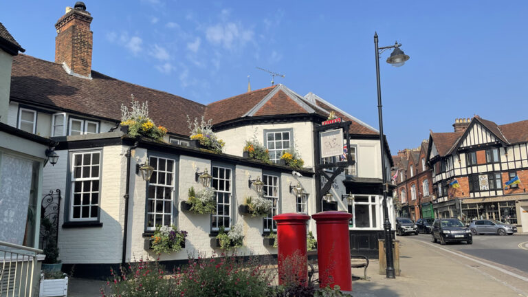
Cross the Beaulieu Road and go through the pedestrian gate alongside the cattle grid. Turn left to visit the shops, cafes, pubs and restaurants on Lyndhurst High Street. Or cross the road using the traffic island in front of the fire station and turn right to continue to the loop to Ashurst by walking out of the village towards the golf club.
Advertisement
View Map
Download GPX
Download PDF Guide
Essential Information
Weather


In Pictures


