The peace and tranquility of the New Forest was shattered during World War Two.
With a strategically-important location on the south coast, the forest was to play a vital role in the preparations for D-Day in June 1944. More than 80 years on, it is still possible to find signs of the New Forest’s wartime role.
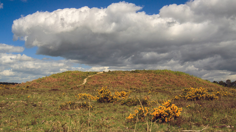
Beaulieu
RAF Beaulieu was built on 900 acres of heath in the south of the forest in 1942. It was initially used by RAF Typhoon Fighter-bombers until March 1944 when the US Air Force arrived. Both fighters and bombers flew missions across the channel supporting Allied forces on D-Day and during the subsequent Battle of Normandy.
After the war RAF Beaulieu was used as an experimental test site for helicopters before the site was finally closed in 1959.
The airfield’s three runways can still be clearly seen from the sky and parts of the perimeter are in use as part of the New Forest cycle track network. From the Beaulieu Health car park, you can follow the perimeter route of airfield in a 3-mile (4.5km) loop walk. ///barbarian.impulses.scan
Beaulieu was also a key location in the training of undercover agents from the Special Operations Executive (SOE). Recruits trained in the forest surrounding the village before they were parachuted into occupied Europe to carry out clandestine sabotage operations against the Nazi forces – it was extraordinarily dangerous work and many of them didn’t return.
Visitors to Beaulieu Palace, home of Lord Montagu, can see the Secret Army Exhibition telling the story of Beaulieu’s role in training SOE agents.
Bucklers Hard and the Beaulieu River saw intense activity in the build-up to D-Day. The hard was a repair facility for motor torpedo boats and minesweeping craft.
On the eastern shore of the river is Exbury Gardens. Exbury House was re-named HMS Mastodon during the war – the top secret Royal Navy base organised the landing craft which took troops across to Normandy for the D-Day landings in 1944.
Airfields
Beaulieu was one of 12 airfields built in the New Forest. Others were located at Stoney Cross and Ibsley – a main base for Spitfires.
At Sopley, new radar equipment helped to spot German bombing raids. You can see the remains of the so-called Huff Duff – High Frequency Direction Finding Station – on a walk across Ibsley Common.
While nature has gradually taken back many of the airfields’ built structures, there are still telltale signs of the forest’s wartime role.
Odd bits of airfield concrete are still used as picnic areas or car parks around the forest. A stretch of road near Stoney Cross is actually an old airfield taxi-way. Only from the sky you can still make out the feint outlines of runways and buildings etched onto the landscape.
To ensure that memories of the sacrifices made don’t fade in the same way, a New Forest Airfields Memorial is located at Holmsley South, with a time capsule, dedicated to the pilots, crews and base workers who gave their all during World War Two.
The New Forest Airfields Heritage Centre is well worth a visit to discover more about the forest’s wartime aviation history.
Ashley Walk Bombing Range
The open healthland in the north of the New Forest still bears the scars of World War Two.
Some 5,000 acres of heath was cordoned off and became the Ashley Walk Bombing Range, used for testing bombs and ammunition. Evidence of the mock targets and observation huts can still be seen and the landscape is pockmarked with craters from the bombs dropped.
Known locally as the Submarine Pens, the concrete Ministry of Home Security Target was covered with earth after the war and is still visible off the Fritham – Frogham cycle path. ///beard.alike.toads
The explosives tested on the range included the largest bomb ever dropped by British forces, during World War Two.
The Grand Slam Bomb was a 22,000lb high explosive deep-penetration weapon designed by engineer Sir Barnes Wallis, also inventor of the Dambusters ‘bouncing bomb’. It was dropped from a modified Avro Lancaster on 13 March 1945 on to the bombing range. The crater is about 200m from the Submarine Pens target at ///hangs.overpower.wrenching.
Along Hampton Ridge between Fordingbridge and Fritham there is a large concrete arrow used to guide aircraft in dropping their bombs. The illuminated direction arrow pointed towards an illuminated target in the valley beyond.
The arrow is also close to the Fritham – Frogham cycle path, about 0.75 miles (1.2km) from the Abbots Well car park at Frogham. ///establish.think.officer
If you want a longer walk, it’s 3 miles (4.5km) along the cycle path from Fritham car park ///slipping.ducks.permanent.
D-Day marshalling
The forest’s remote location and thick forest cover also made it ideal for assembling troops in marshalling camps.
Thousands of troops were camped in the forest before embarking from the Solent coast – through Lepe, Stone Point and Lymington.
The Balmer Lawn Hotel in Brockenhurst was the headquarters of Marshalling Area B. Marshalling Area B contained troops of the British 50th Infantry Division, who would land on Gold Beach on D-Day. The area around the hotel can be explored on this walk from Brockenhurst.
In 2015 a collection of military documents was found under the hotel’s floorboards, giving an insight into the building’s role in the crucial months before the invasion.
The Allied troops came from a variety of nations and the Canadian troops are commemorated at the Canadian Memorial at Bolderwood.
A Canadian flag still flies at the simple monument at the location where soldiers gathered for church services when they were stationed in the forest, ahead of their departure for Juno Beach.
At Lepe Beach it is still possible to see some of the hard standing as well as iron bollards installed to launch the Mulberry Harbours. They were huge concrete structures used to build harbours to keep the Allied forces supplied as they liberated mainland Europe over the course of the following year.
High tides and storms early in 2024 swept away part of the beach closest to the D-Day remains. The area was closed for safety reasons but following work to repair the beach, the wartime structures were accessible in time for the 80th anniversary.