Ashurst Station to Brockenhurst
Starting Point
Ashurst Station
///retained.jiggle.reckoned
Distance
8 MILES (13KM) – One way
Categories
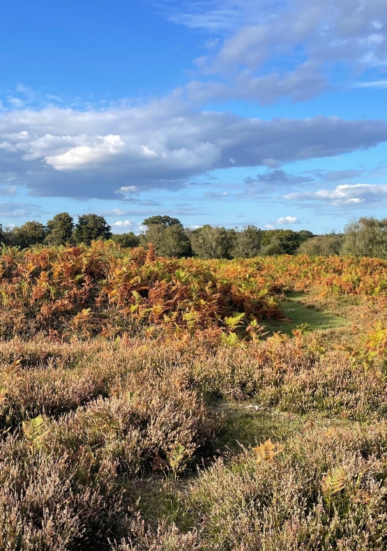
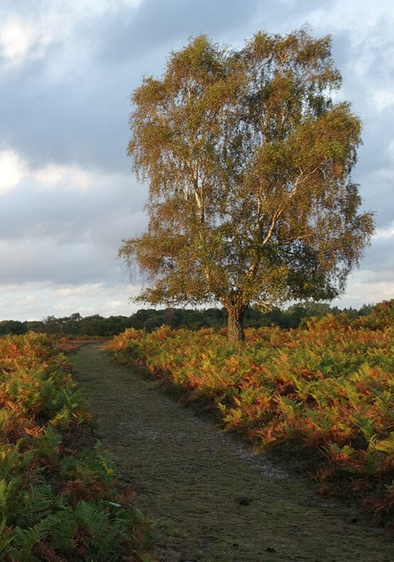
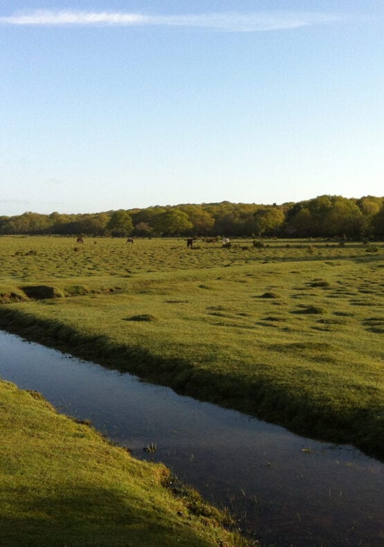
This route allows you to enjoy the New Forest by train by linking two stations on the South West main line through the forest. Hop off at Ashurst and catch another train home at Brockenhurst – while enjoying the forest’s woods and heathland in between.
Route
From Ashurst Station, pass through the New Forest Inn car park on to the main road to Lyndhurst. Walk a short distance in the direction of Lyndhurst and then take the road leading into Ashurst campsite.
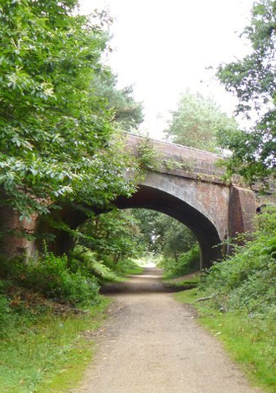
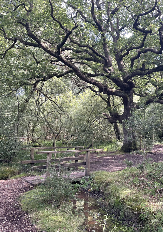
Walk through the site and into Ashurst Wood, alongside the railway line. After you cross a small footbridge over a stream, you’ll come to a railway bridge on your left. Cross it and enter the woodland.
Turn right through a gate about 100m after the bridge. Continue for 200m and follow the cycle path to the right. Follow the cycle path for another 1.2km to the edge of Deerleap Inclosure.
Come out of the inclosure on to an area of open grassland. Turn right at cycle post 376 and head through a clump of trees towards the railway bridge. Cross the railway line on to Fulliford Bog.
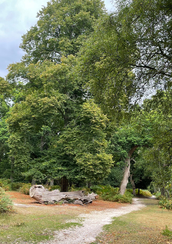
After 150m you’ll cross the Beaulieu River and then take the track which forks to the right, crossing Matley Heath. Continue for 600m until reach the edge of Matley Wood. Follow the path uphill through the caravan park which will bring you out at the Matley car park.
A path behind the car park runs downhill alongside the B3056 Beaulieu Road. Follow the road for the short distance up the hill to the entrance of the Denny Wood campsite at the sharp bend in the road.
Advertisement
Follow the tarmac road for 1km through the campsite and an area of oak and beech woodland. The cycle route eventually divides at cycle route marker number 296.
Go past the barrier at the junction and follow the gravel cycle path into Parkhill Inclosure. Go straight ahead when you reach cycle post 298. Taking the turn to the left at cycle route marker number 286. Continue for 750m then right at a crossroads in the paths. After another 300m the path curves round to the right on to a 700m-long straight path before you reach Standing Hat.
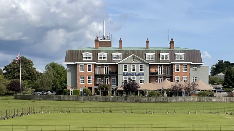
Go through the gate and follow the path alongside Balmer Lawn until it meets the B3055.
Taking care as you walk along the roadside, pass the famous ‘Brockenhurst Beach’ on your left. This part of the Lymington River is packed with families enjoying the river whenever there is good weather.
When you reach the A337, turn left and walk into the centre of the village. The train station is dead ahead, or walk down Brookley Road for a selection of shops, cafes and restaurants.
Advertisement
View Map
Download GPX
Download PDF Guide
Essential Information
Weather