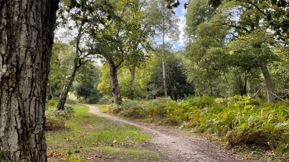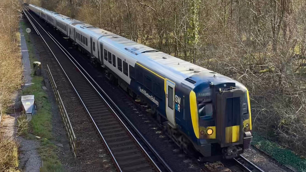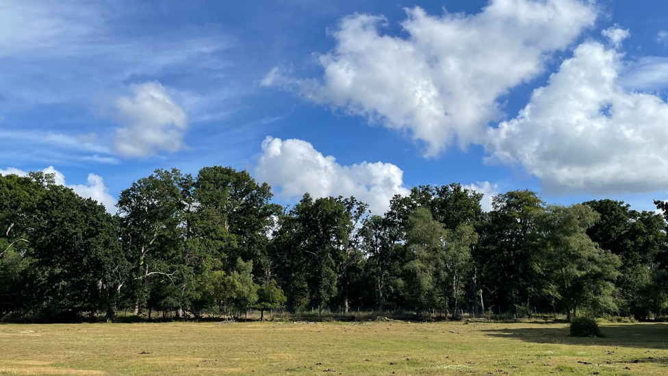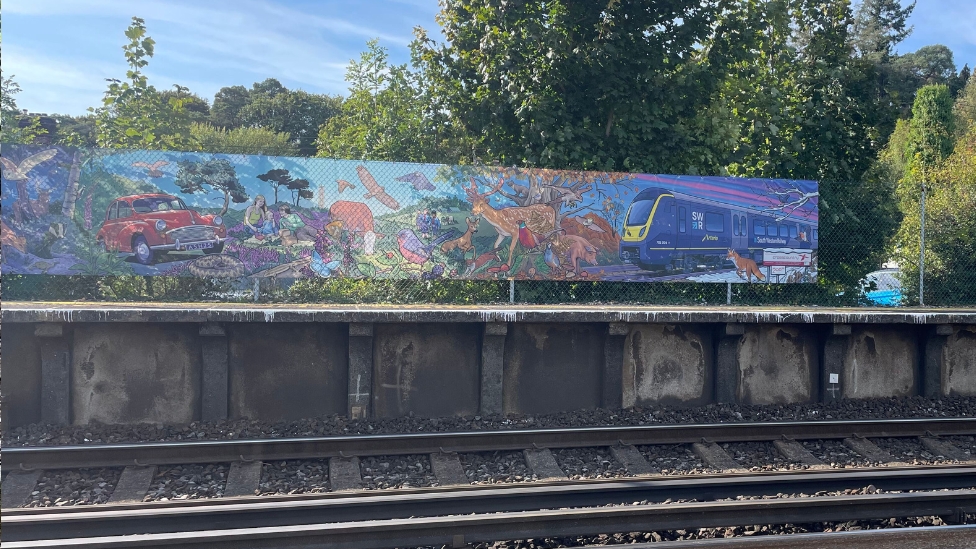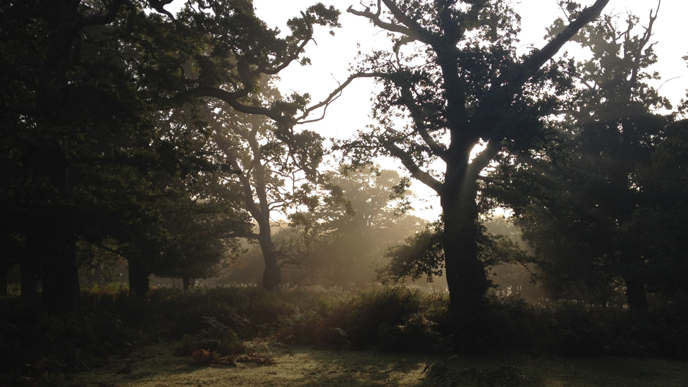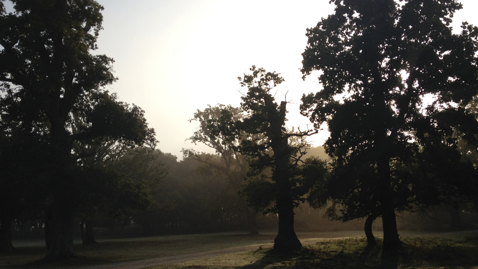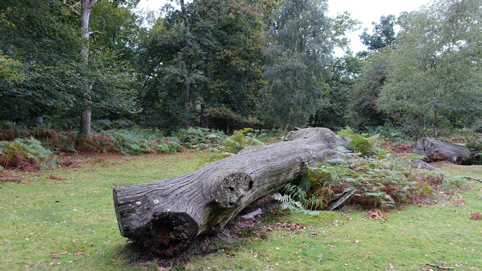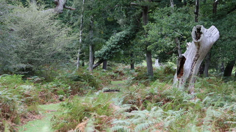
This route allows you to enjoy the New Forest by train by linking two stations on the South West main line through the forest. Hop off at one and catch another train home at the other– while enjoying the forest’s woods and heathland in between.
Route
Map & GPX
Information
In Pictures
Ashurst to Brockenhurst
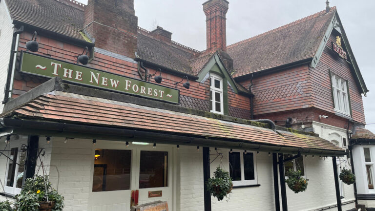
From Ashurst car park, take the footpath in front of the Happy Cheese before joining the main footpath alongside the A35. Turn left back across the rail bridge. Pass the entrance to the New Forest Inn and Ashurst Station before turning left into Ashurst campsite through the gate.
Walk through the site and into Ashurst Wood, alongside the railway line. After you cross a small footbridge over a stream, you’ll come to the railway bridge on your left at cycle marker post 371 . Cross the bridge and enter the woodland.
Turn right through a gate about 100m after the bridge at cycle marker post 372. Continue for 250m to cycle marker post 373 and take the path to the right. Follow the cycle path for another 1.2km to the edge of Deerleap Inclosure and go through the gate at cycle marker post 375.
Come out of the inclosure on to an area of open grassland. Turn right at cycle post 376 and head through a clump of trees towards the railway bridge. Cross the bridge on to Fulliford Bog.
After 150m you’ll cross the Beaulieu River and then take the track which forks to the right, crossing Matley Heath. Continue for 600m until reach the edge of Matley Wood. Follow the path uphill through the woods for 700m until you emerge at the campsite. Follow the path to the left which will bring you out at the Matley car park.
Join the path at the far end the car park which runs downhill alongside the B3056 Beaulieu Road. Cross the road and follow the road for the short distance up the hill to the entrance of the Denny Wood campsite at the sharp bend in the road.
Advertisement
Follow the tarmac road for 1km through the campsite and an area of oak and beech woodland. The cycle route eventually divides at cycle route marker number 296.
Go past the barrier at the junction and follow the gravel cycle path into Parkhill Inclosure. Go straight ahead when you reach cycle post 298. Take the turn to the left at cycle route marker number 286. Continue for 750m then right at a crossroads in the paths at cycle marker post 288. After another 300m the path curves round to the right on to a 700m-long straight path before you reach Standing Hat.
Go through the gate and follow the path alongside Balmer Lawn until it meets the B3055.
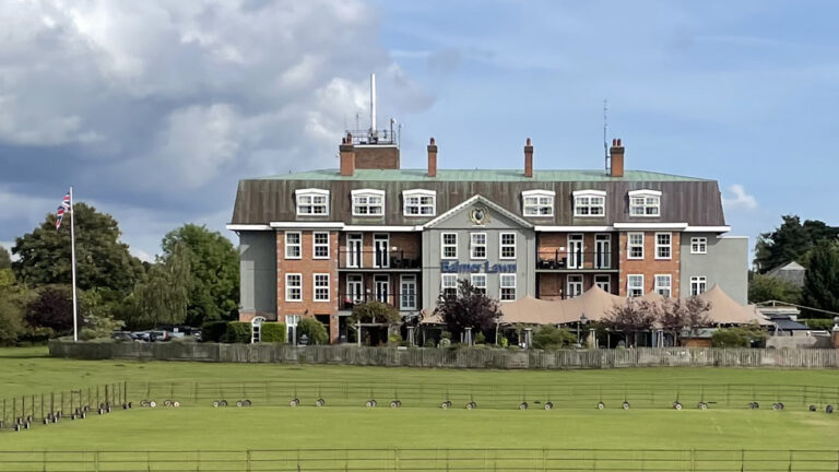
The imposing Balmer Lawn Hotel on your right was the headquarters of Marshalling Area B during World War 2. Marshalling Area B contained troops of the British 50th Infantry Division, who would land on Gold Beach on D-Day in June 1944. In 2015 a collection of military documents was found under the hotel’s floorboards, giving an insight into the building’s role in the crucial months before the invasion.
Taking care as you walk along the roadside until you come to the the Lymington River.
At the A337, turn left and walk into the centre of the Brockenhurst. The train station is dead ahead, or walk down Brookley Road for a selection of shops, cafes and restaurants.
Brockenhurst to Ashurst
From the station, walk 1km north towards Lyndhurst, until you reach Balmer Lawn Road alongside the bridge over the Lymington River.
With the river on your right, walk along the roadside for 400m until the road forks. Take the Tilery Road path to the left, past the car park, for 800m.
The imposing Balmer Lawn Hotel on your left was the headquarters of Marshalling Area B during World War 2. Marshalling Area B contained troops of the British 50th Infantry Division, who would land on Gold Beach on D-Day in June 1944. In 2015 a collection of military documents was found under the hotel’s floorboards, giving an insight into the building’s role in the crucial months before the invasion.
When the path splits again, take the track on the left past cycle marker post 292.
Follow the path uphill and go through the inclosure gate at Standing Hat.
Take the path on the right and continue straight for 700m. The path bends round to the left and crosses Etherise Gutter before reaching a crossroads cycle marker post 287.
Take the path on the left as it winds through the trees until it meets a T-junction at cycle marker post 286.
Turn right and continue straight, past cycle marker post 285, for 950m.
At the junction at cycle marker post 298, take the path on the right which heads through a gate and the gradually uphill into Deny Wood Inclosure.
After 750m, turn left on to the tarmac path leading from the campsite.
Follow the path through the campsite until you reach the exit on to the Beaulieu Road.
Cross the road and join the rough footpath alongside the road which crosses a footbridge and heads the short distance to Matley Wood car park.
From the car park, walk back up the hill and into the campsite. Join the main path behind the campsite noticeboard and turn right heading into the woods.
Follow the path through the woods for 800m as it gradually heads downhill before emerging onto the open heath at Matley Holms.
Take the rough heathland track straight ahead across the open heath for 700m until you meet the Beaulieu River.
Continue towards the bridge over the railway line and walk up the bank to cycle marker post 376.
Turn left and go through the gate into Deerleap Inclosure and turn left at cycle marker post 375. Follow the path as it bends to the right and then continues straight for 1.1km until you reach cycle marker post 373.
Turn left and follow the path for 320m until it crosses the railway bridge.
At the end of the railings at cycle marker post 371, turn right and follow the path back in the direction of the railway line. Cross a small footbridge and follow the path as it turns to the left running parallel to the railway line towards Ashurst campsite.
Walk the 500m through and out of the campsite to join the A35. Turn right and follow the footpath past the New Forest Inn, over the rail bridge and turn right to the Happy Cheese pub, finishing at Ashurst car park.
View Map
Download GPX
Download PDF Guide
Essential Information
Weather

 12°C
12°C









In Pictures