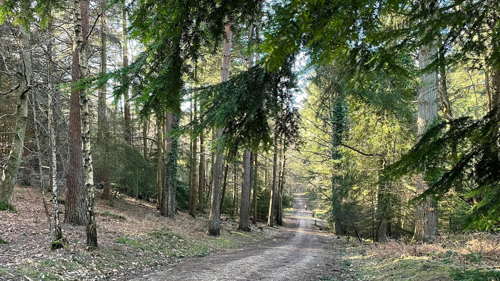
Burley – Brockenhurst
Distance
8.5 MILES (13.5KM) Each-way
Categories
A there-and-back walk between the villages of Burley and Brockenhurst which takes in a variety of landscapes along a disused railway line which once took steam trains through the New Forest.
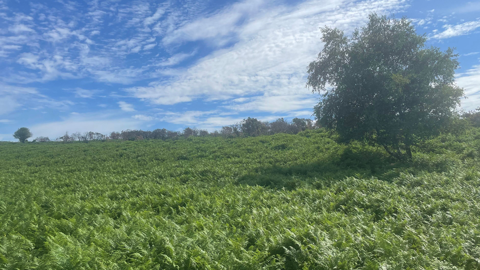
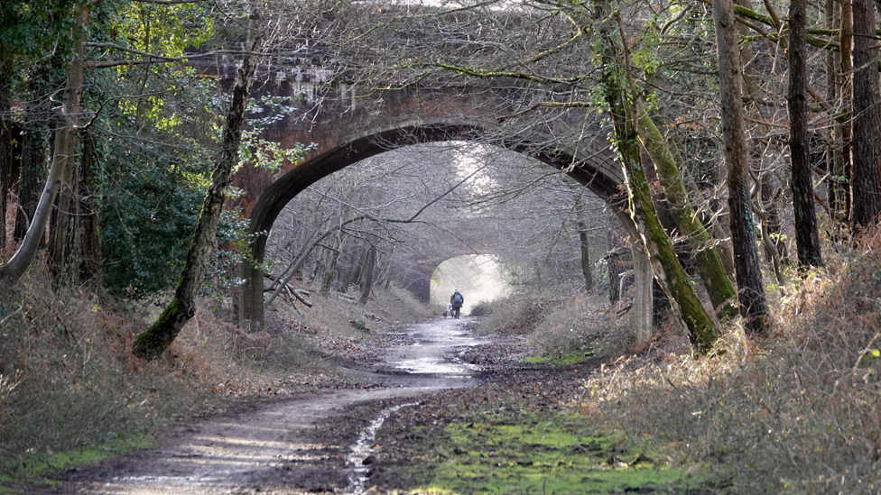
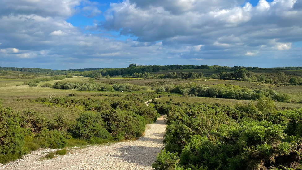
Travel mainly along the route of the disused Castleman’s Corkscrew railway line, wind through the woodlands of Wilverley Inclosure and enjoy views over the rolling heathland south of Burley which looks stunning in late summer when the heather is in bloom.
For a shorter version of this walk, start or finish at the Wilverley Inclosure car park which is at the half-way point of the route, approximately 4.2 miles to both Burley and Brockenhurst.
Route
Map & GPX
Information
In Pictures
Route from Brockenhurst to Burley
From Brockenhurst station, take the pedestrian exit on the north-side station car park on to East Bank Road before turning right, down Avenue Road.
Turn left and follow Sway Road for 1.5km before crossing the railway bridge.
As an alternative start which by-passes the 1.5km walk along Sway Road, take the 86 New Forest Breezer Bus from the Foresters Arms, just outside Brockenhurst station, to Latchmoor Corner bus stop, close to the railway bridge.
Turn right after the bridge and, taking care on the narrow footpath, walk towards the start of the cycle track at cycle marker post 217.
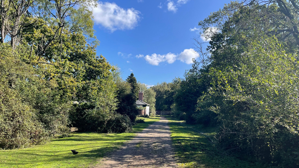
Join the cycle track and go under the railway bridge and walk another 500m before the path bends to the right and reaches Gatehouse Cottage.
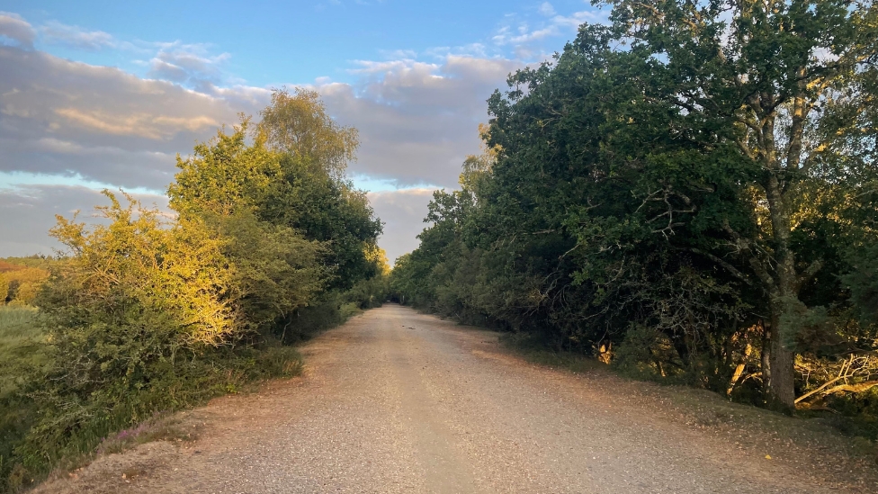
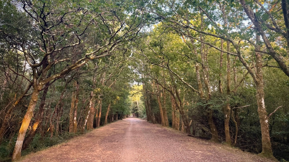
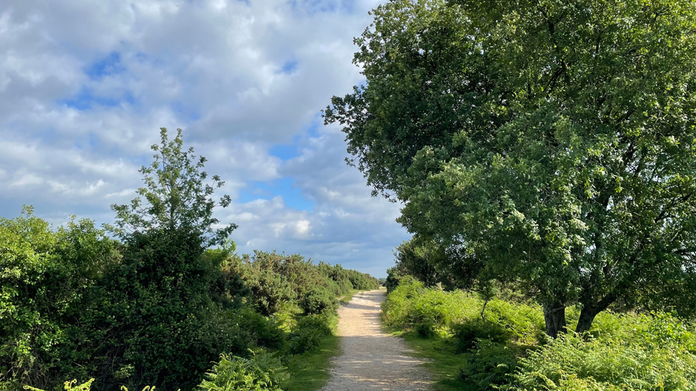
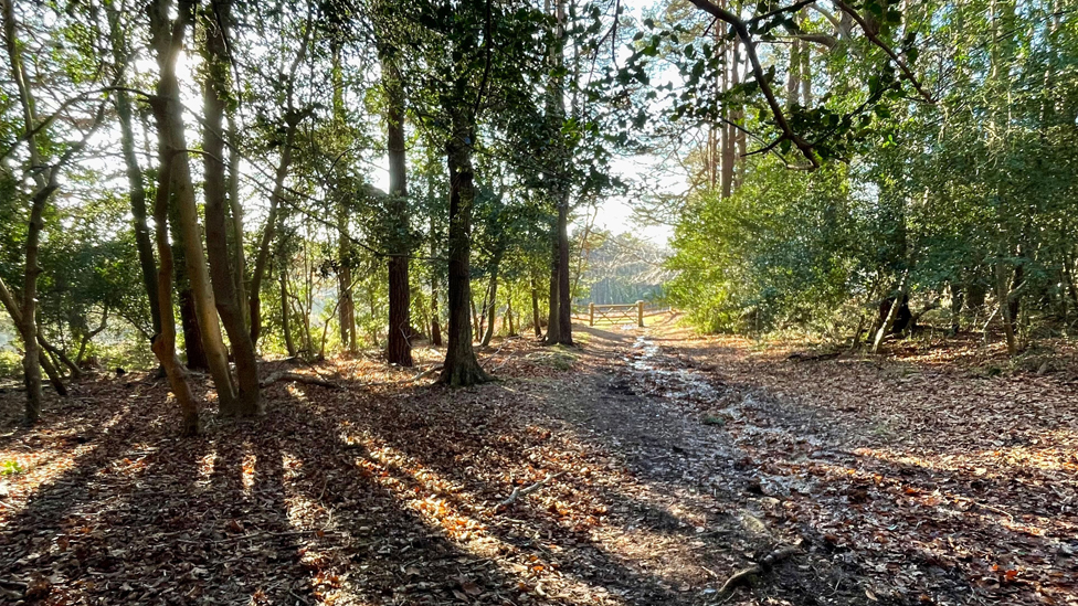
The wide gravel path follows the route of the disused railway line known as Castleman’s Corkscrew. The line, opened in the 1840s, linked Brockenhurst and Ringwood and was so-called because of its winding route through the New Forest.
Continue on the straight cycle path for 3.25km. It passes cycle marker post 208 at Longslade Bottom, goes under two bridges and through Sethorns campsite. Shortly before the cycle path ends, there is an opening in the hedge to the right and a path leads up a grassy hill. The track goes through some gorse bushes before it reaches Yew Tree Bottom car park.
Exit the car park and turn right along the roadside. After a short distance, turn into Wilverley Inclosure car park.
Alternative start/finish
To shorten this walk, start or finish at the Wilverley Inclosure car park which is at the half-way point in the walk, approximately 4.2 miles to both Burley and Brockenhurst.
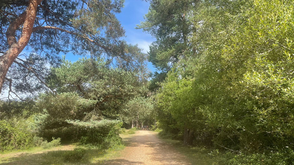
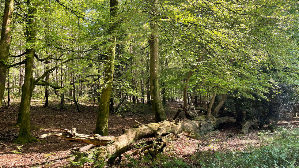
Go through the gate into the inclosure and continue on the path as it dips and weaves through the woods, passing cycle marker posts 229 and 228. At marker post 226 take the dog-leg path downhill to the left.
At cycle marker post 225, turn right onto the rougher forest track. The path makes its way through the trees for 500m – first going downhill, then climbing for a section until you reach the inclosure gate. Walk down the hill towards a path which runs under the A35.
Follow the path as it runs parallel to the Station Road. When the path emerges on the roadside, cross the road and walk back towards the road bridge. When you reach a cattle grid, join the path as it enters a small patch of woodland on the right of the grid. Follow the path until it joins the cycle path alongside a gate.
The remains of the platform of the old Holmsley station platform can be seen alongside the path.
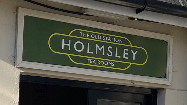
To visit the Old Station Tea Rooms, go through the gate to your left, and cross the road. The restored building still has a lot of the fixtures and fittings from the time when it was Holmesley Station. You can have a drink or meal in what was the station waiting room.
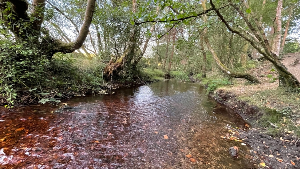
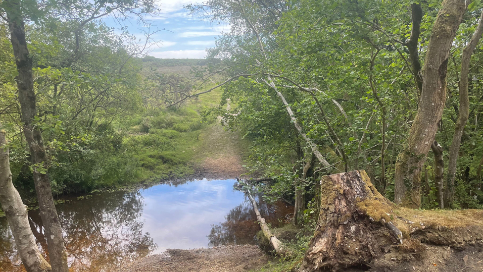
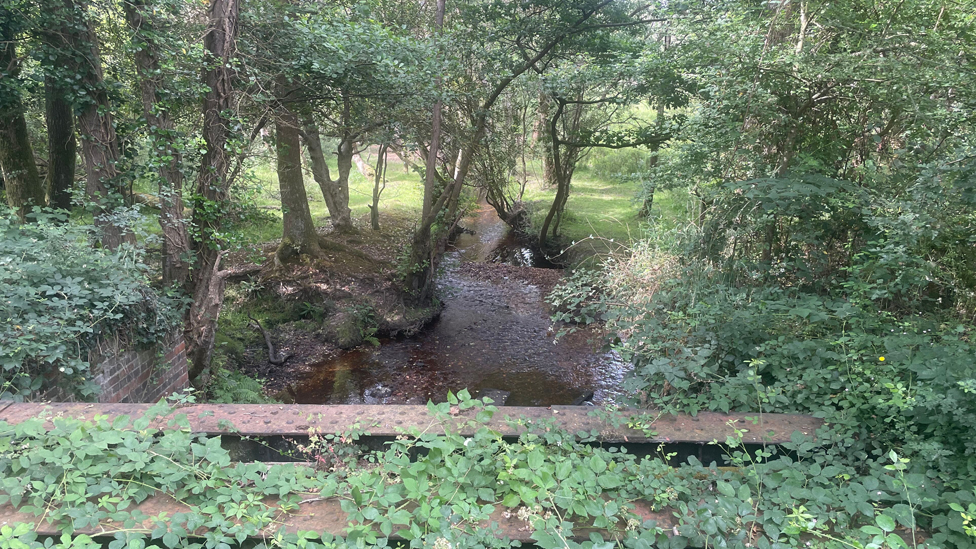
Continue along the cycle track for 1.1km to cycle marker post 159. Another 330m brings you to the ruins of Greenberry Bridge. Turn right off the cycle path onto a track which will take you across a footbridge over the Avon Water at Holmesley Bog.
Follow the track as it climbs steeply up towards Turf Hill.
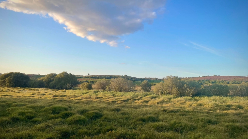
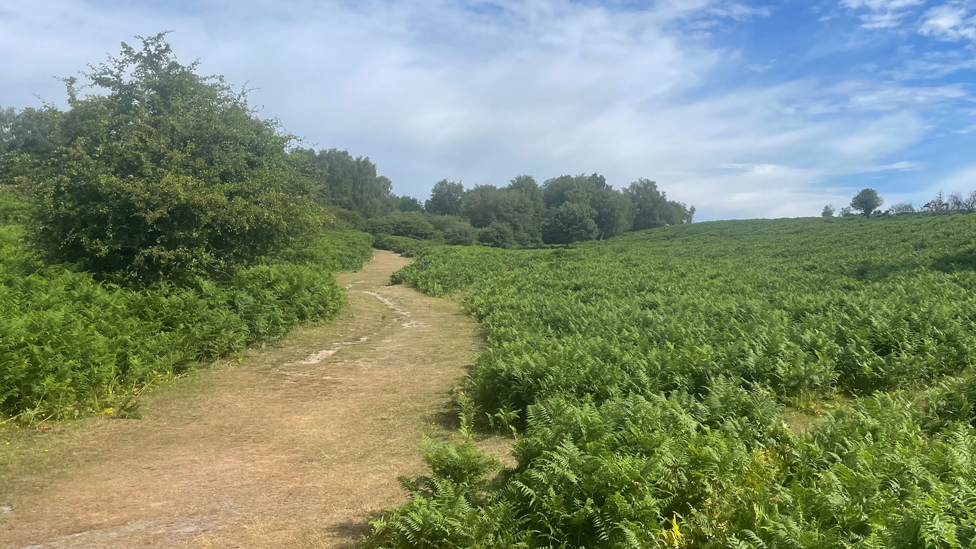
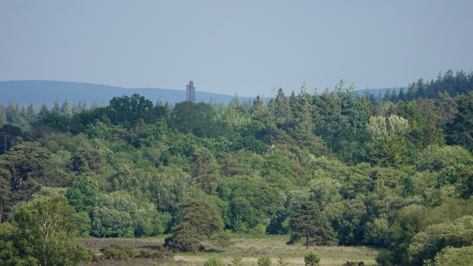
The 1.1km walk up the hill offers magnificent views across the rolling heathland south of Burley as well as sight of Sway Tower off to the right.
The path eventually reaches Burley car park. To continue to the village centre, walk through the car park and cross Moorhill Road, taking the path leading downhill through the trees. It brings you out alongside the Coven of Witches shop. The village car park is a short distance down the street, through a small parade of shops on the right.
Advertisement
Route from Burley to Brockenhurst
From the centre of Burley, take the gravel path alongside the Coven of Witches shop which leads up through the trees to Burley car park.
From Burley car park, take the more-or-less straight gravel path which heads south through the gorse bushes. You soon begin a gradual descent down Turf Hill.
Look out for Sway Tower in the distance, with the Isle of Wight visible across the Solent behind it. The 218 ft-high tower is visible for miles around and is a familiar landmark. It was built in the 1880s by wealthy local landowner Andrew Thomas Turton Peterson and is thought to be the tallest structure in the world made from non-reinforced concrete.
Continue walking, with Shappen Bottom on your right. After about 2km from the car park, the track narrows and there is a steeper descent towards a footbridge which crosses the Avon Water stream at the bottom of the valley.
Over another 200m, the path rises to meet a wide gravel path along the disused Castleman’s Corkscrew railway line. The line, opened in the 1840s, linked Brockenhurst and Ringwood and was so-called because of its winding route through the New Forest
At the ruins of the Greenberry Bridge, turn left onto the cycle path and continue for 300m until you cross the road at Holmsley Passage.
Continue straight on along the old railway line for another 1.1km until you arrive at the site of the old Holmsley station, with the remains of the old platform seen alongside the path
If you want to visit the Old Station Tea Rooms (see above) go through the gate and cross the road.
Otherwise, take the small path in the trees to the left of the gate which leads you back alongside Station Road to the cattle grid. Walk up Station Road, away from the A35, for 200m before crossing and joining the path which leads back towards the A35.
The path takes your underneath the carriageway before heading up the bank. Go through the gate into Wilverley Inclosure and follow the path for 500m through the woods.
You’ll emerge at New Forest cycle path marker post 225. Turn left and head uphill towards marker post 226. Take a sharp right turn and follow the path through Wilverley Inclosure for 1.4km until you reach the gate to the car park.
Alternative start/finish
To shorten this walk, start or finish at the Wilverley Inclosure car park which is at the half-way point in the walk, approximately 4.2 miles to both Burley and Brockenhurst.
Exit the car park and turn right, walking a short distance to Yew Tree Bottom car park on the opposite side of the road. At the far end of the car park, follow the path through the gorse bushes as it heads down a grassy bank and meets the old railway line once again.
Turn left and follow the path for 3.2km as it goes through Sethorns campsite, under two bridges and passes over a bridge at Longslade Bottom. It eventually reaches Gatehouse Cottage. Take the path to the right as it bends round to the right and reaches the B3055 after 650m.
Taking care along the roadside, turn left and follow the rough footpath alongside the road. Turn left and cross over the railway bridge.
To by-pass the walk into Brockenhurst, cross the road before the railway bridge to the Latchmoor Corner bus stop and catch the 86 New Forest Breezer in to Brockenhurst or on to Lyndhurst.
To reach the centre of Brockenhurst, follow Sway Road for 1.5km. The road eventually meets Brookley Road for shops and cafes. Or turn right onto Avenue Road and then East Bank Road to finish at Brockenhurst Station.
View Map
Download GPX
Download PDF Guide
Essential Information
Weather

 11°C
11°C







In Pictures