Lyndhurst – Burley
Starting Points
Burley village car park – ///shudders.pile.spends
Lyndhurst village car park – ///rumble.housework.goals
Distance
9.5 MILES (15KM) – Each way
Categories
For a shorter version of the walk, alternative start/finishing points would be Anderwood car park (5 miles from Lyndhurst, 4.5 miles from Burley) and Knightwood Oak car park (3.5 miles from Lyndhurst, 6 miles from Burley).
Route
Map & GPX
Information
In Pictures
Route from Lyndhurst to Burley
From the Lyndhurst village car park, exit from the top entrance alongside the community centre and walk up Church Lane into the church grounds of St Michael and All Angels.
On the other side of the church, leave the church grounds and cross the road using the zebra crossing in front of the infants school.
Turn left and walk out of the village on the footpath along Bournemouth Road for 700m. Turn right at the junction opposite the Swan pub.
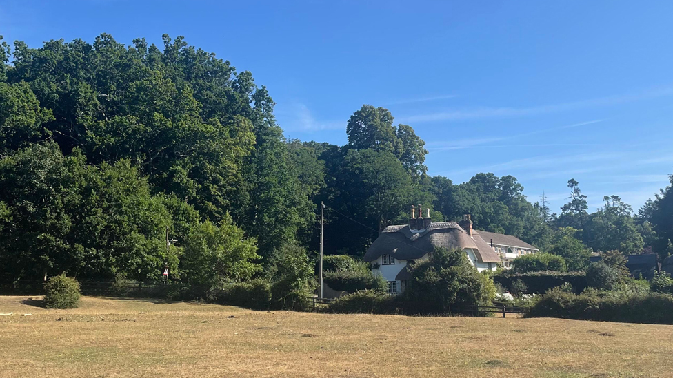
Walk up the hill, passing two thatched cottages on your right.
Cross the road into the Swan Green car park and walk across the area of open grass which used to be a cricket pitch – you’ll see the old wicket still slightly raised.
Head for the far corner of the green, close to the fence beside the A35. Step over a small gulley and onto the path heading uphill into the trees. After a fairly steep climb for 200m, the track levels off.
Continue on the path, known as Cut Walk, as it heads downhill. After 1km, you’ll see Allum Green on your left. Follow the path and, after another 800m, cross a footbridge and turn right onto the gravel track heading to the Old Reptiliary (Formerly known as the New Forest Reptile Centre).
The centre does not currently house any animals and the information and learning centre sis closed. There is a picnic site and toilet facilities (open seasonally) at the site.
Take the path heading into the woods away from the centre. After a short distance, when you reach a wooden telescope installation, turn on to the track on the left.
The soft woodland path winds through a tunnel of pine trees towards a footbridge and then heads uphill to join with the main gravel path.
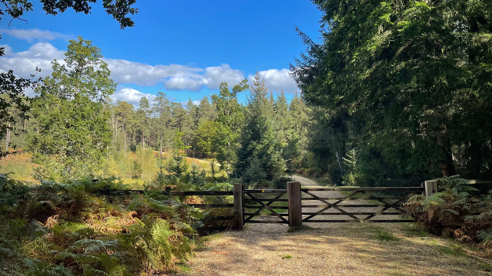
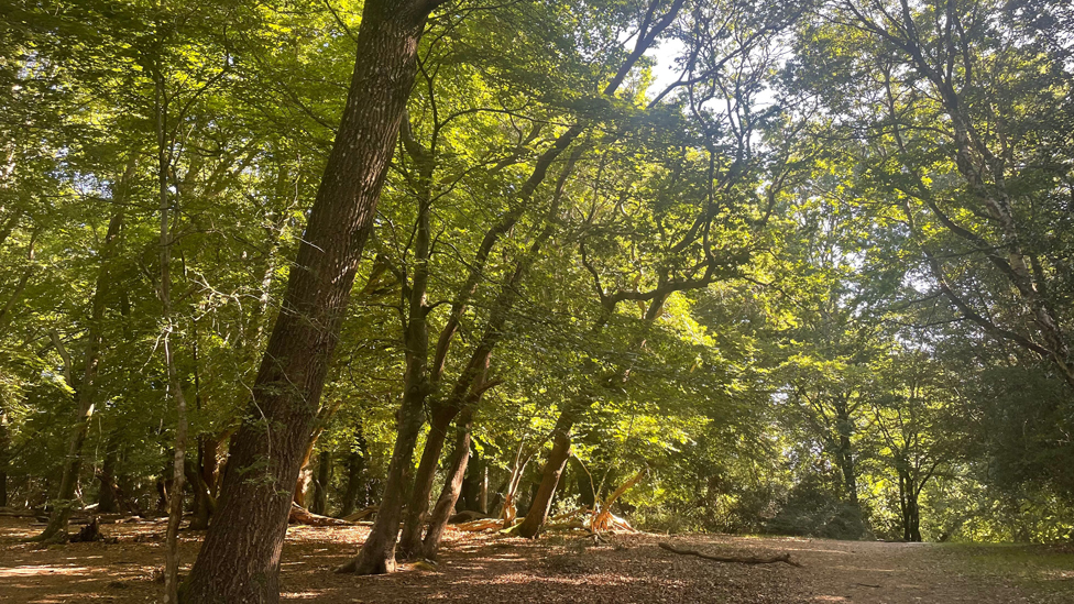
Turn left and follow the path downhill towards the inclosure gate. Go through the gate and continue downhill towards the valley bottom before climbing again for 350m through oak and beech woods towards Bolderwood Ornamental Drive. This path can be muddy following wet weather conditions.
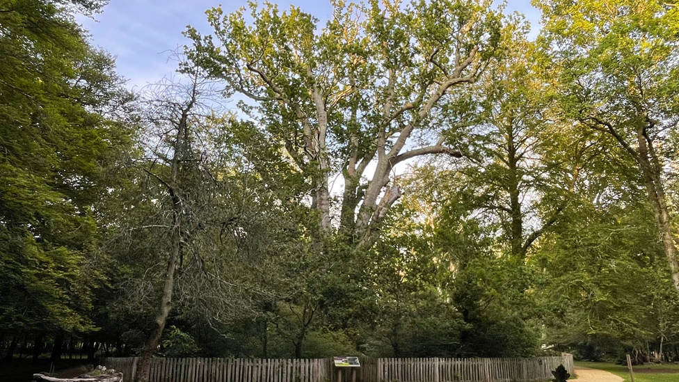
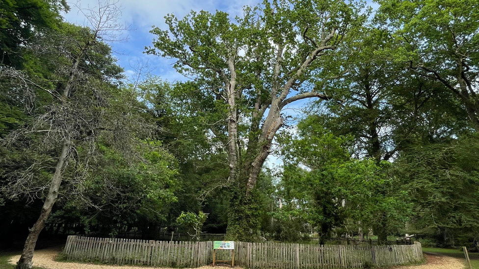
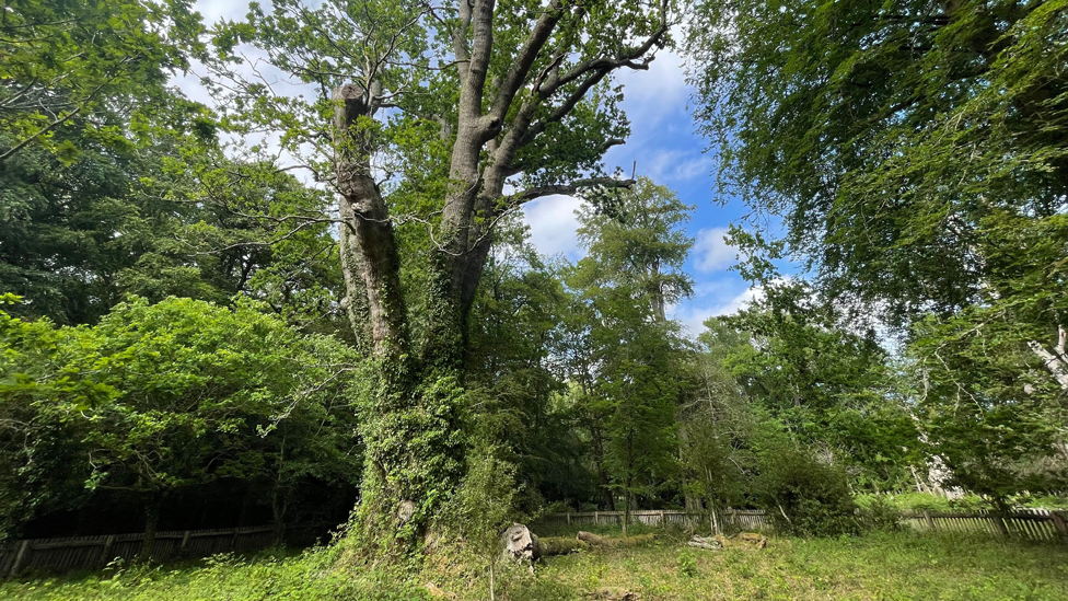
Turn left when you reach the road and enter Monarchs Grove on the same side of the road. A short 600m trail through the grove takes you to the so-called Queen of the Forest – the Knightwood Oak. This majestic tree first became popular as a visitor attraction in Victorian times.
The Knightwood Oak, surrounding by a cleft oak fence, is thought to be about 600 years old and, as such, is one of the oldest trees in the New Forest. Over the centuries it has been pollarded – the upper branches cut off for purposes such as firewood – without harming the tree. The trunk has a circumference of more than 7m.
After walking round the Knightwood Oak, follow the path back to the road. Cross the road and into, and through, the Knightwood Oak car park.
The Knightwood Oak car park is an alternative starting/finishing point.
Continue on the straight path for 200m out of the car park before making a right turn at a T-junction. After 150m, turn left and walk on the straight path past an area of open heath for 250m.
Take a right turn and follow the path as it curves around to the left.
An uphill track on the left will take you the short distance to the Eagle Oak.
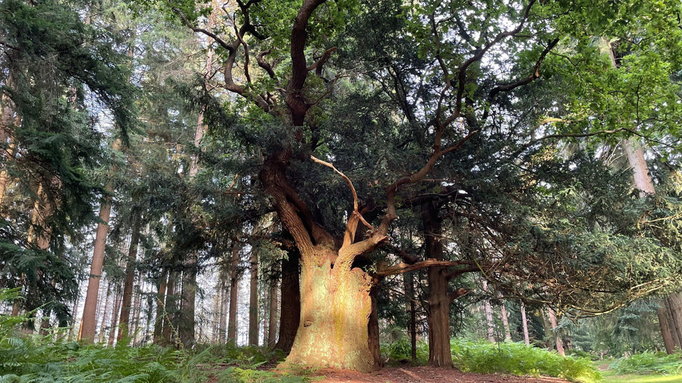
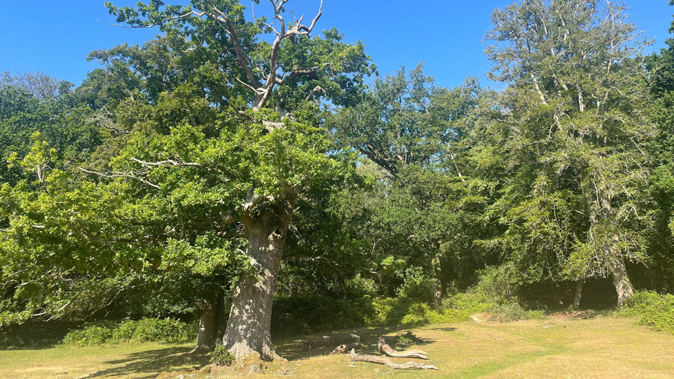
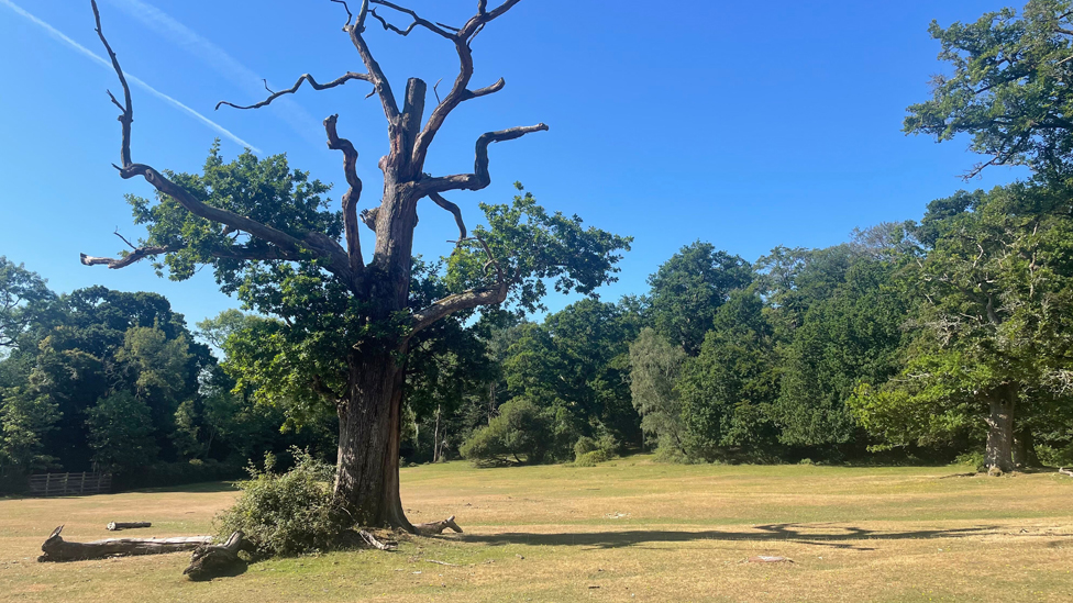
With the branches of a yew tree entangled amongst its own, the Eagle Oak has a girth of about 5.4m. It is so-named as it is thought that the last remaining sea eagle in southern England was shot from its branches in the early 19th Century.
However, the tree has survived to see the return of the the birds of prey – thanks to a conservation and breeding project set up on the Isle of Wight by the Roy Dennis Wildlife Foundation. The white-tailed eagle is the UK’s largest bird of prey with a wing span of up to 2.5m.
Retrace your steps to return to the main gravel path. When you reach a fork in the path, take the path on the left and you’ll soon come to a cycle path, at marker post 133. Turn left and follow the cycle track for 200m as it curves to the right. Keep the area of open land to your right. The path gradually heads uphill towards the gate into Anderwood Inclosure.
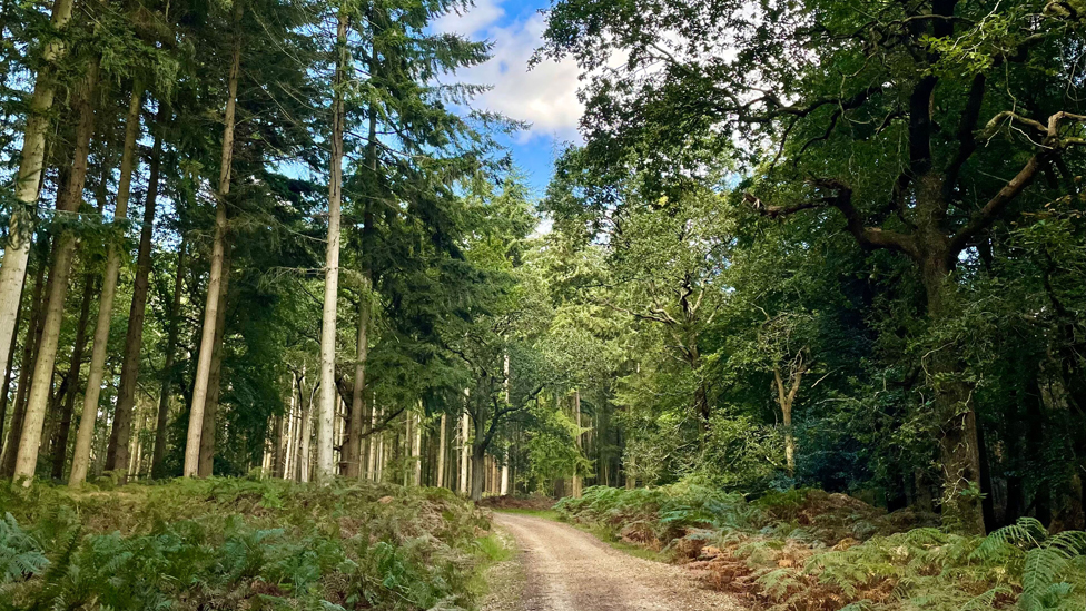
Follow the cycle path through the oak and beech woods of Anderwood Inclosure for 600m.
Alternative start/finish
At cycle marker post 130, you can turn left to take the path through the woods to the alternative start/finish point at Anderwood car park.
Otherwise, continue straight on the cycle path for another 1.1km until you reach cycle marker post 127.
Turn right and follow the path which curves to the left when you reach Woolfield Cottage.
At cycle marker post 109, turn left and continue straight on the cycle path for 2.7km, through Burley Outer Rails Inclosure and into South Oakley Inclosure.
The path eventually reaches a gate exiting the inclosure at the small Woods Corner car park.
For the quickest route in to Burley, turn right and follow Lyndhurst Road for 1.5km until you reach the village car park and toilets. Be aware this road has no footpath.
To enjoy a walk to Burley along the quiet lanes, turn left and walk alongside Lyndhurst Road for 100m before turning in to Mill Lane on the opposite side of the road.
After 500m, the lane curves to the right. Continue to follow it for another 850m as it crosses a couple of streams on Burley Lawn. Walk alongside the road until it enters a small wooded area before meeting Beechwood Lane. Turn right on to the lane.
After 500m, turn left on to Church Lane. Continue straight as the lane heads into some woods and passes two barriers. After about 450m, it reaches the picket fence of the Church of St John the Baptist. Burley’s parish church dates back to 1839 and has had a number of extensions and buildings added over the years.
Follow the path through the churchyard and exit the gate onto Chapel Lane. Cross the road and turn left to walk the short distance into the centre of Burley. Take care as there is no footpath on this stretch of road.
Before you reach the car park you can see Burley Manor across the fields to your right.
Advertisement
Route from Burley to Lyndhurst
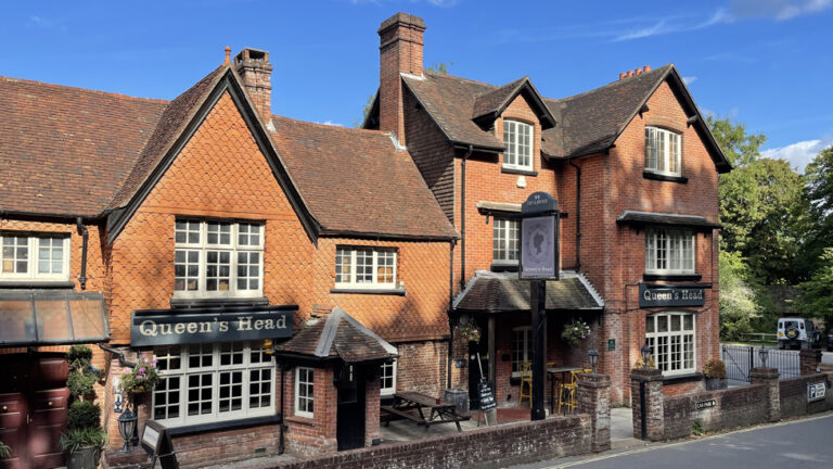
Exit the village car park beside the Queen’s Head pub, turn left and walk along the side of Chapel Lane for a short distance until you reach Church Lane at the parish church of St John the Baptist.
Head up Church Lane and follow the lane alongside the picket fence for 175m. The road turns into a track through some woods. Go past two barriers and continue to follow the lane until it reaches Beechwood Lane.
Turn right on to Beechwood Lane. Walk along Beechwood Lane for 500m until you reach the junction with Mill Lane. Turn left on Mill Lane and walk for 700m, passing over several footbridges over streams on Burley Lawn.
The path then bends to the right and then to the left before a straight stretch of 500m bringing you out at Lyndhurst Road.
Cross the road, turn left and walk the short distance to Woods Corner car park on the opposite side of the road. Go the gate into South Oakley Inclosure.
Follow the cycle path for 2.7km. Turn right when you reach cycle marker post 109. After 140m, follow the path as it bends round to the right.
Continue for another 200m until you reach a crossroads at cycle marker post 127. Turn left and follow the cycle path for 1.1km.
Alternative start/finish
At cycle marker post 130, you can turn right to take the path through the woods to the alternative start/finish point at Anderwood car park.
Otherwise, continue gradually downhill for 650m and go through inclosure gate. Follow the path as it loops to the left and take a right turn at cycle marker post 133.
A track up the hill into the woods leads to the Eagle Oak (see above for full description)
Return to the cycle path. After a further 300m, the path curves to the right. Continue until a T-junction and take a left turn. Walk for 150m through a small cleared area, then turn right, followed by a left turn. Follow the straight path for 400m until you reach the alternative start/finish point of the Knightwood Oak car park.
Cross the Bolderwood Ornamental Drive and either visit the Knightwood Oak (see above for full description), or look out for a small track leading into the woods a few metres along the road, to the left of Monarch’s Grove.
Follow the forest track through beech and oak woodland for 350m as it gradually descends towards an open area at the valley bottom. This path can be muddy following wet weather conditions.
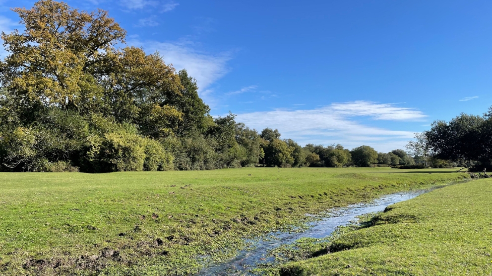
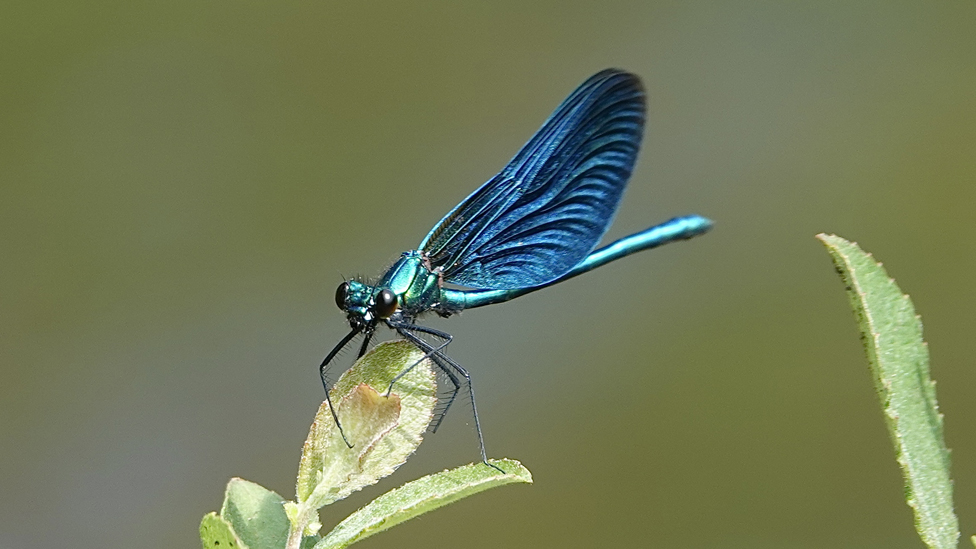
The path crosses a small stream – look out for dragonflies and butterflies in spring and summer.
Continue on the path as it heads uphill, back into the woods for another 300m until you reach the gate into Holidays Hill Inclosure. Follow the path straight on as it continues uphill for 100m.
At the top of the hill, take the track heading into the pine woods to your right. Follow the track as it descends to a footbridge and winds its way through the woods before joining with the main cycle route.
Turn right and walk the short distance downhill towards the Old Reptiliary (Formerly the New Forest Reptile Centre). The site no longer has any animals and the information centre is closed. There is a picnic site and toilets (open seasonally).
Follow the gravel road out of the centre towards the A35. After 400m, before you get to the main road, take the path leading off to the left.
After crossing a footbridge, follow the straight path for 2km as it passes Allum Green on your right and climbs towards Lyndhurst Hill before descending on to Swan Green.
Alternative route
About 200m before you reach Swan Green, there is a gravel path off to the left which takes you 400m to Emery Down and the New Forest Inn pub. Join the Swan Green and Emery Down walk route to make your way back to the Swan Green car park.
Cross Swan Green, passing the old cricket wicket, towards the car park. Leave the car park and cross the road onto the footpath.
Turn right and, passing the two thatched cottages on your left, walk towards the A35 junction. Turn left and walk the 700m into the village of Lyndhurst.
Cross at the zebra crossing beside the school and head towards the village car park by cutting through the grounds of the church of St Michael and All Angels. Alternatively walk down the high street for a selection of pubs, cafes, restaurants and takeaways.
View Map
Download GPX
Download PDF Guide
Essential Information
Weather

 14°C
14°C





In Pictures