A new map and exit signs have been installed at Brockenhurst Station to help anyone using the station as the starting or finish points for walks.
Friends of Brockenhurst Station (FoBS) said its application for funding to improve exit wayfinding from the station was approved last year by South Western Railway under its Social Development Fund.
The proposals were for an upgrade to the forecourt local map as well as the installation of complimentary new exit signs from the station to key local destinations.
Volunteer group FoBS aims to come up with new and creative ways to improve public spaces and the general environment of Brockenhurst’s station.
In a Facebook post, it said: “This completes another community project initiated by FoBS and supported by SWR to enhance and promote Brockenhurst Station as the gateway and most sustainable way to travel to the New Forest.”
The map and signs have now been installed and FoBS said it would be proposing additional wayfinding signs be installed along public rights of way to assist visitors to the village, arriving by train or bus, to reach their destinations after leaving the station.
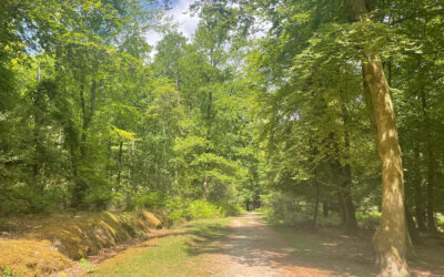
The station is a hub for walking routes south of the village, including Roydon Woods or heading north to Balmer Lawn or a loop walk to Lyndhurst.